


The Red Centre Loop: 1,524 km from Alice Springs
Alice Springs, Kings Canyon, Uluru and back — a closed loop through the middle of the continent that most riders can do in four days. What it measures and what the desert asks of you.
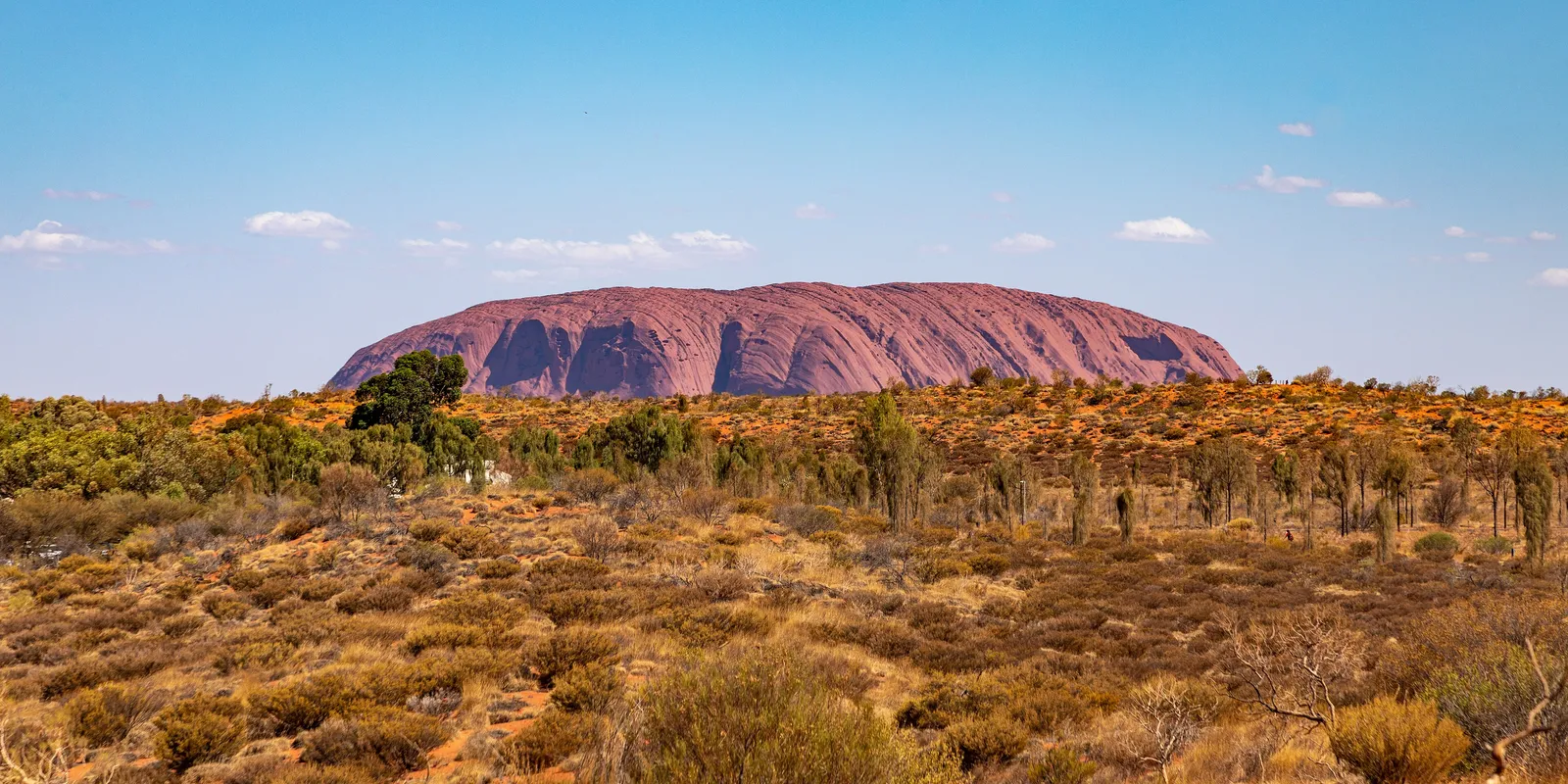
Most of Australia’s great rides hug the coast. This one does the opposite — it goes to the middle and comes back, and the middle turns out to be the part with the colours in it.
The classic circuit from Alice Springs runs west through the MacDonnell Ranges, south to Kings Canyon, across to Uluru, and back up the highway to Alice. Kept entirely on sealed road it measures 1,524 km and about nineteen hours of riding, which makes it a four-day trip at a pace that lets you actually look at things.
The shorter figure you will see elsewhere — around 1,100 km — takes the unsealed Mereenie Loop as a short cut between the MacDonnells and Kings Canyon. On a road bike that is not the trip, so this is the tarmac number.
The shape of it
Alice Springs → the West MacDonnells. Straight out of town the ranges start, and Namatjira Drive runs west along them past a string of gorges and waterholes — Simpsons Gap, Ellery Creek, Ormiston. It is the greenest part of the loop and the only part with shade.
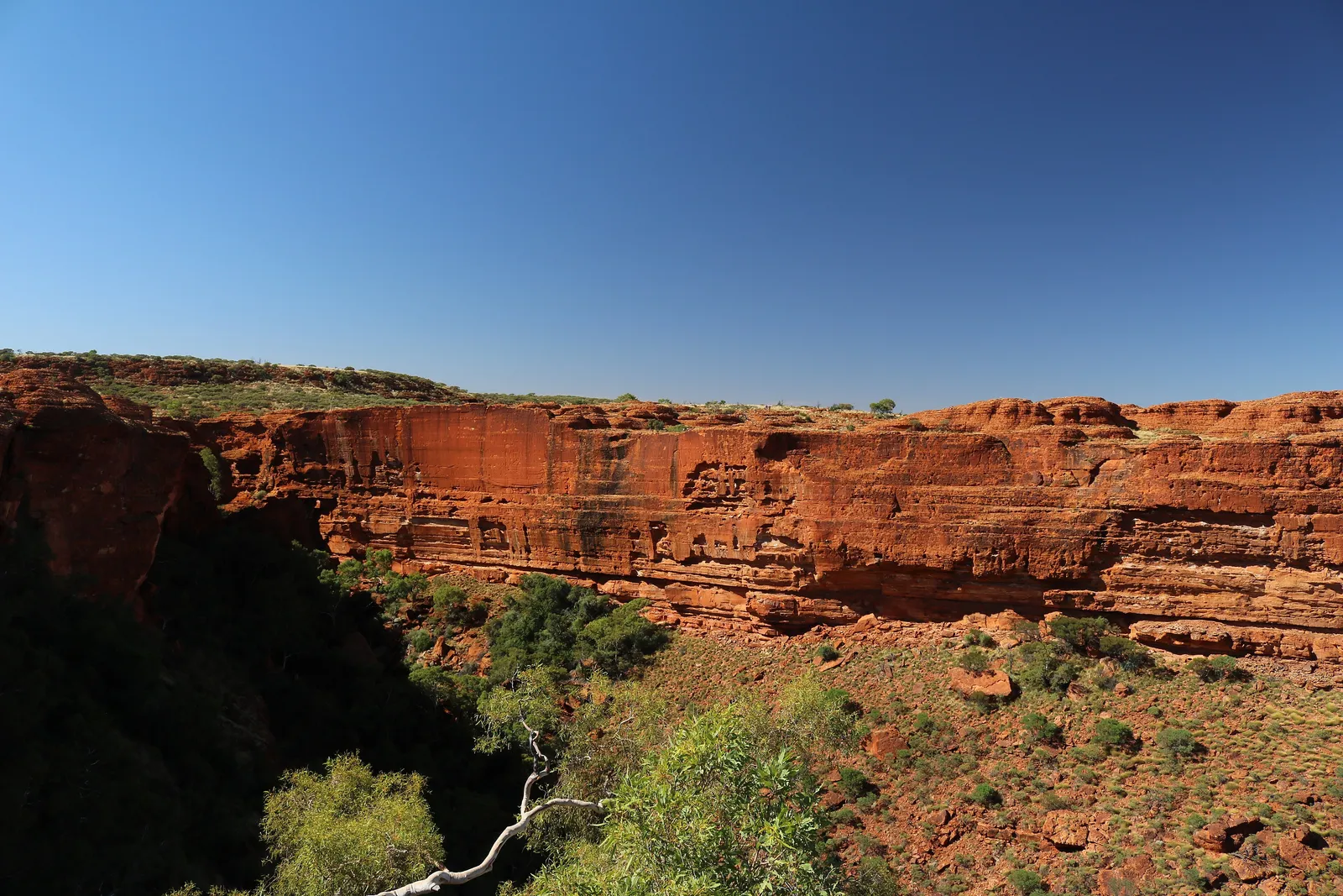
Down to Kings Canyon. The sealed route drops south to the Stuart Highway and comes back west along the Lasseter and Luritja. The unsealed Mereenie Loop cuts the corner and needs a permit; on a road bike, take the tarmac.
).jpg)
Across to Uluru. The Lasseter Highway runs 250 km west to Yulara. Somewhere along it Mount Conner appears on the left and briefly convinces everybody that it is Uluru. It is not, and locals enjoy this.
Back to Alice. East to Erldunda, then north up the Stuart. Long, straight and open — the section where you find out whether you like your own company.
What the desert asks
The riding is not technically difficult. Almost none of this loop is twisty; the roads are wide, well-surfaced and mostly straight. The difficulty is entirely environmental, and it is real.
Heat. Ride in the winter months. In summer the Centre sits above 40°C for days at a time, and in full gear on a bike that is not a discomfort, it is a medical problem. May to September gives you low-twenties days and clear skies.
Cold. The flip side nobody expects. Desert nights in July go below zero. If you are camping, pack for a genuine frost.
Water. Carry more than you think, drink before you are thirsty, and keep some on the bike rather than in a pannier you have to stop and open.
Distance between everything. Erldunda, Curtin Springs, Yulara and Kings Canyon Resort have fuel and food. Between them there is nothing. Country hours apply and a single pump can be out.
Wildlife at dawn and dusk. Camels, kangaroos and cattle, all on unfenced road. Ride the middle of the day, which the heat rules already push you toward in shoulder season.
Getting there is the other trip
Alice Springs is the most isolated town of its size in the country — about 542 km from the nearest point on the Southern Cross Lap.
That distance is why the Explorers Way exists: 3,054 km from Adelaide to Darwin, straight up the Stuart Highway through Coober Pedy, Alice and Tennant Creek, cutting the continent in half. Riders doing the Big Lap sometimes use it to turn the loop into a figure-of-eight — trading the whole Western Australian coast for a run through the middle.
The Red Centre loop sits at the midpoint of that line like a knot in a rope. Whichever way you arrive, you are not passing through by accident.
A note on Uluru
It is a living cultural site for the Anangu, the traditional owners, and climbing it has been closed since 2019. The base walk is 9.4 km, flat, and considerably better than the view from the car park. There are signed no-photography sections around sites of particular significance — the signs are there for a reason and are easy to respect.
Questions riders ask
How long is the Red Centre loop from Alice Springs?
About 1,524 km if you keep it sealed — Alice Springs out through the West MacDonnell Ranges, back to the Stuart Highway, south to Erldunda, west to Kings Canyon and Uluru, then north to Alice. That is roughly 19 hours of riding, which most people spread across four days. Guidebooks often quote around 1,100 km, but that figure takes the unsealed Mereenie Loop between the MacDonnells and Kings Canyon.
Can you ride to Uluru on a road bike?
Yes. The Stuart, Lasseter and Luritja Highways are all sealed, and so is the road into the Uluru-Kata Tjuta resort area. The Mereenie Loop between Kings Canyon and the West MacDonnells is the unsealed option and needs a permit — the sealed alternative via Erldunda is longer but keeps the whole trip on tarmac.
When is the best time to ride the Red Centre?
May to September. Winter days sit in the low twenties with clear skies, which is close to perfect riding weather. Nights drop below freezing, so pack accordingly. From November to March daytime temperatures regularly exceed 40°C and the heat becomes a genuine safety problem on a bike.
How far is Alice Springs from the Big Lap?
About 542 km in a straight line to the nearest point on the coastal lap, and considerably further by road. Alice is the most isolated significant town relative to the lap — which is exactly why the Explorers Way, the 3,054 km run from Adelaide to Darwin straight up the middle, exists as its own trip.
Do you need to carry extra fuel for the Red Centre loop?
Not on the sealed circuit if your bike has a realistic 250 km range and you fill at every opportunity. Erldunda, Curtin Springs, Yulara and Kings Canyon Resort all have fuel, but they keep country hours and a single-pump stop is a single point of failure. Carrying a few litres in reserve costs you nothing and removes the only real risk.
Free, no subscription
Plan the curvy bits. Record the ride.
Watch your
map fill in.
Motoridez is free on iOS and Android — curvy routing, turn-by-turn voice navigation, ride recording and your ridden-roads map, with nothing behind a paywall.
Not in Australia yet
Bring Motoridez to your roads
We've launched in Australia first. The more riders register from your region, the sooner we get there — so put your name down, then send it to your ride group to move your region up the queue.
You're on the list ✓
Nice — you're in the queue
Every rider you bring moves your region up the list. Share it with your mates and your ride groups.