
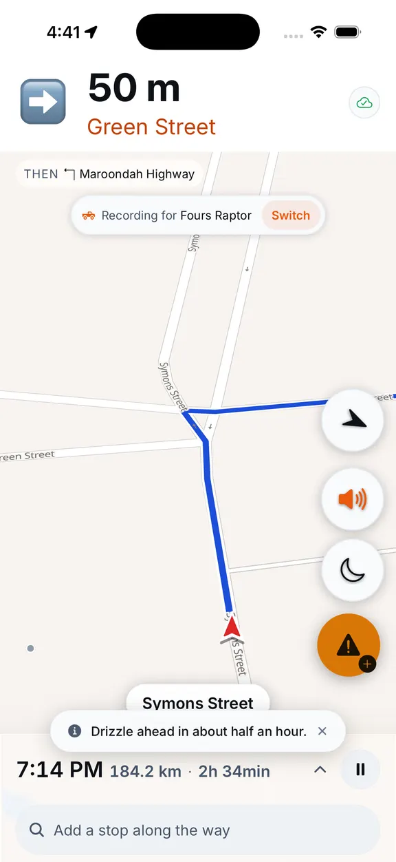
Ride started
Recording from the first metre. Screen stays awake, phone stays in the tank bag.
For people who'd rather take the long way
Plan the curvy bits. Record the trip. Watch your map fill in.
Every road drawn here is the real Black Spur.
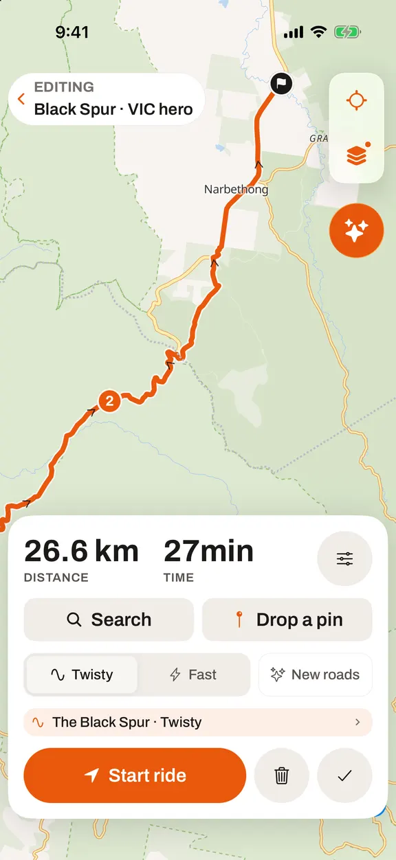
Take the virtual ride
27.2 km of Black Spur, the way the app sees it. Keep scrolling — the map moves with you.
Recording from the first metre. Screen stays awake, phone stays in the tank bag.
Planned stop on the route. Everyone riding with you sees the same pin.
Gravel on the exit of a left-hander. A rider flagged it 20 minutes ago — you hear it before you see it.
You dropped this one in when you built the route, so the ride is planned around it rather than interrupted by it.
A rider in your group stopped moving. You get told — the group doesn't fragment.
Map-matched to real roads. That's the Black Spur done — next time we'll route you somewhere you haven't been.
How it works
Plan
Ride
Remember
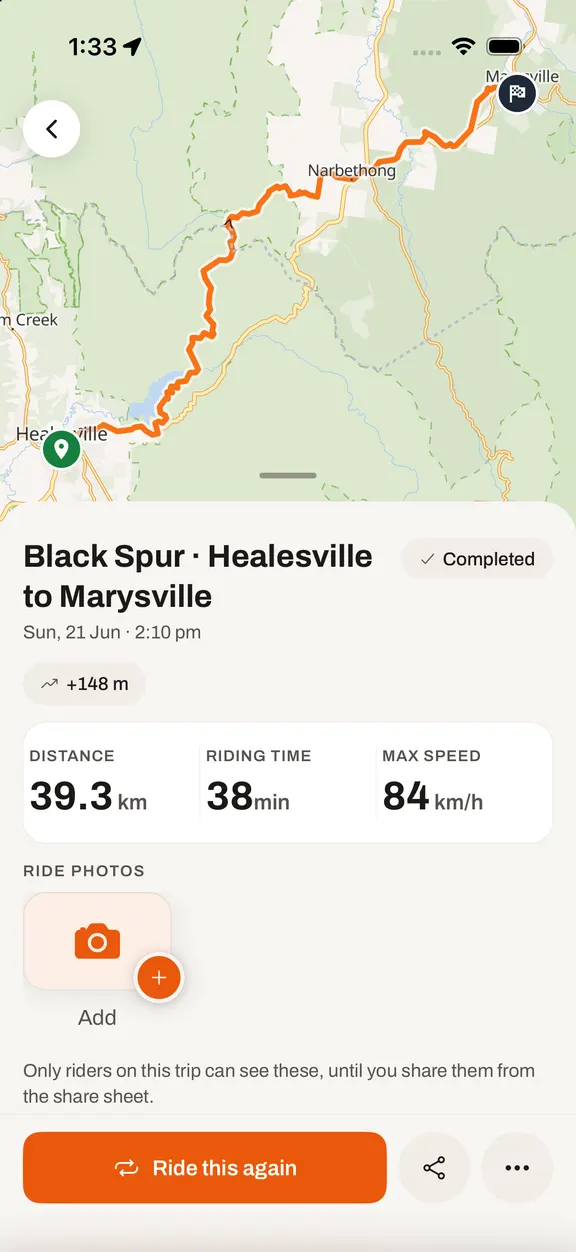
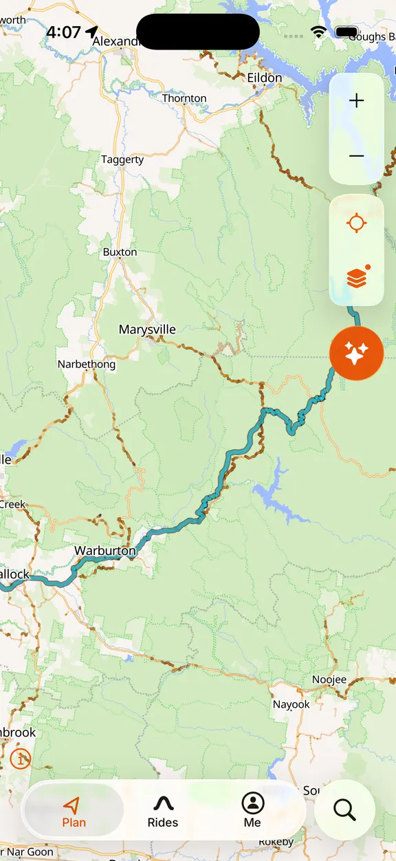
Every road, remembered
0% of the roads around your patch ridden
Every ride you record is map-matched to the roads you actually rode — GPS-confirmed, not guessed. Ask for a route that avoids what's already orange, and you get sent down something you haven't done.
Whatever you ride
Pick a bike, a scooter, a car or a four-wheel drive and the planner follows. Sealed roads for some, gravel and dirt for others, and your kilometres land on the right machine.
Motorcycle Sealed roads, curvy ones first.
Join the waitlist
The more riders register from your region, the sooner we get there. Put your name down, then send it to your ride group to move your region up the queue.
You're on the list ✓
Every rider you bring moves your region up the list. Share it with your mates and your ride groups.
Two pins on the map and we'll find the twisty bit between them.