
Camping in Victoria: the good roads in, and a good night's sleep
Victoria's free and low-cost campsites, sorted by what your vehicle can actually reach — with the scenic way in, the fuel distances that matter, and the checks to run before you go.
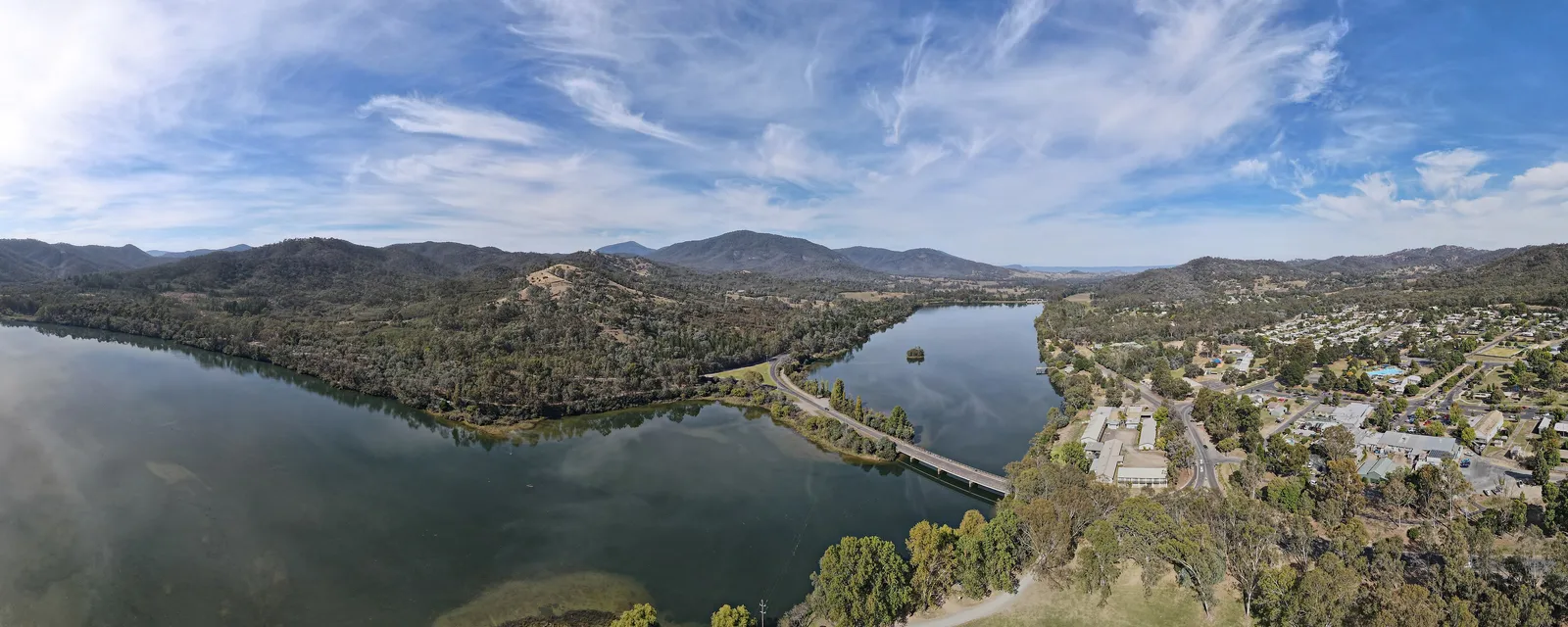
The camping part is easy. You know how to put up a tent.
The hassle is everything before it: working out where you are allowed to sleep, whether your vehicle will actually get down the last five kilometres, whether there is a pump within range, and whether the road is even open this week. Most people solve that by going back to the same campground every year.
Victoria is better set up than any other state to fix this — three agencies publish their campgrounds openly — but the data is scattered and it leaves out the one thing that decides everything. So here it is, sorted by the two questions that actually matter: what can your vehicle reach, and what is the drive in like?
The number that decides your shortlist
Victoria has 479 state campgrounds and huts across state forest, national parks and the alpine huts. Of those, 47 have no unpaved road mapped within 150 metres of the site. Everything else ends in gravel, dirt or a forest track.
Roughly one in ten. That is the number nobody puts on a campsite listing, and it is the difference between a good weekend and a long, quiet argument in the front seats.
It is a proxy, not a promise — it means the mapped roads around the site are sealed, not that a grader went through last week. But as a filter it works, and it splits the state cleanly:
- Car, scooter, road bike, caravan: you are choosing from the sealed few. Start below.
- Adventure bike, 4WD, ute: all 479 are on the table, and the good stuff is in the gravel.
If you want sealed all the way
These are among the 47 with sealed access, and they are the ones to pick if you are in a normal car, on a road bike, or towing:
| Campsite | Where | Nearest fuel | Toilets |
|---|---|---|---|
| Buchan Caves Campground | Buchan, East Gippsland | 0.8 km | Yes |
| Goulburn River, Seymour | Goulburn Valley | 1.0 km | — |
| Moreep Reserve | Moorabool River, west of Melbourne | 4.1 km | — |
| Jack Swasbricks | Mitta Mitta valley | 4.6 km | Yes |
| Livingstone Creek, Omeo | Great Alpine Road | 5.9 km | — |
| Katie Peters Reserve | Mitta Mitta valley | 6.1 km | Yes |
| The Gums Campground | Near Yea | 6.5 km | Yes |
| Princess Margaret Rose Caves | Far south-west, near the SA border | 6.6 km | Yes |
Two of these are worth calling out. Buchan Caves is a booked Parks Victoria campground with real facilities 800 m from fuel, and it sits at the eastern end of some of the best road in the state. Livingstone Creek puts you on the Great Alpine Road at Omeo — sealed the whole way, alpine scenery, and a pub in town.
A caution: a handful of the 47 are sealed because you cannot drive to them at all. Rotamah Island and Bunga Arm are boat access. Read the listing before you commit.
Where the good driving is
If your vehicle handles gravel, the calculus flips. The best camping in Victoria is at the end of the best roads, and both are unsealed.
Dargo and Omeo — the softest introduction to the High Country
The Dargo Road side is sealed most of the way in, which makes it the gentlest way into alpine country. Castleburn Creek is a small grassy site just off the road with toilets before the camping area. Meyers Flat is bigger, sits between the Wonnangatta and Dargo, and is 6.4 km from the Dargo store — the shortest fuel run on this list.
Further east, Dogs Grave on the Birregun Road has something unusual: a small hut with a pot-belly stove, plus a picnic table, fire pit and toilet. It is 23.8 km from Omeo, the last fuel.
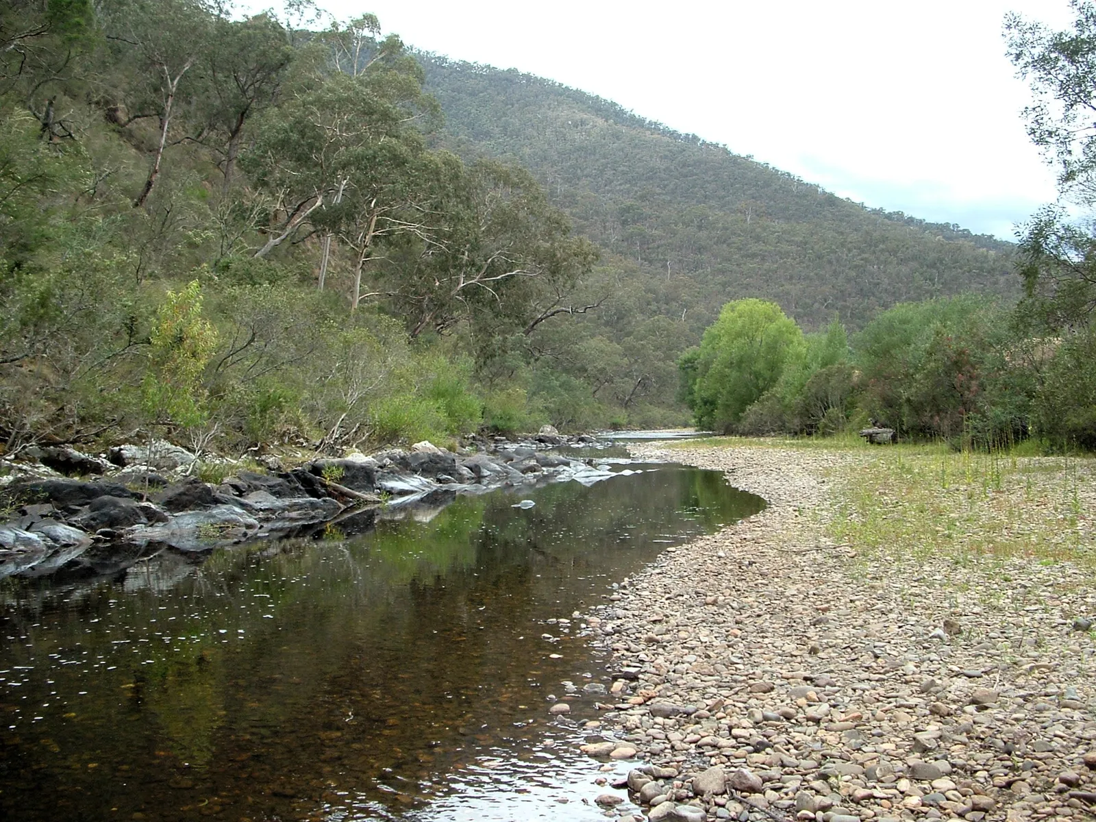

This is the best pairing of driving and camping in the state. The roads between Dargo, Omeo and Bright are the ones that earn Victoria its reputation, and you can sleep in the middle of them for nothing.
The Upper Big River — closest bush camping to Melbourne
Past Eildon, the Big River valley holds a chain of small campsites within a few kilometres of each other: Frenchman Creek, Vennells, Big Bend Creek, Catford, Peppermint Ridge and Twenty Five Mile Creek. They sit on the river, most are basic, and Frenchman Creek is the one with a pit toilet and formal sites.
The obvious weekend from Melbourne: out through the Black Spur, over to Eildon, in along the Big River in the afternoon, back through Jamieson and Mansfield the next morning. Roughly three hours from the city to the valley. The access is gravel and its quality varies with the last flood, so go in daylight the first time.
The Otways — facilities, forest, and a bail-out
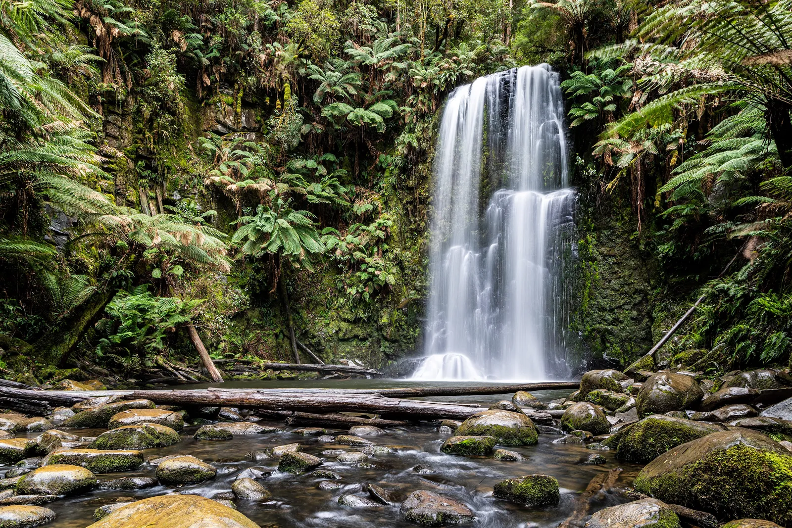
Behind the Great Ocean Road, the Otways carry a fraction of the coast road’s traffic and considerably better driving. The camping matches: Stevensons Falls has 44 designated sites by the Gellibrand River, Dandos has about 20 under eucalypt canopy with toilets and picnic tables, and Beauchamp Falls takes 4–5 dispersed sites on grass.
,_Great_Otway_National_Park,_Beauchamp_Falls_--_2019_--_1271.jpg)
Apollo Bay is the fuel and food stop for all three, 12–21 km away. If this is a first trip with the tent, start here: short runs, real facilities, and a pub to retreat to if the weather turns.
Snowy River and East Gippsland — the quiet end
The furthest and emptiest option. Long Point is an expansive grassy site on the sandy banks of the Snowy with river views. Goongerah spreads over both sides of the river. Ada River sits on grassy flats and is the gateway to the Errinundra plateau.
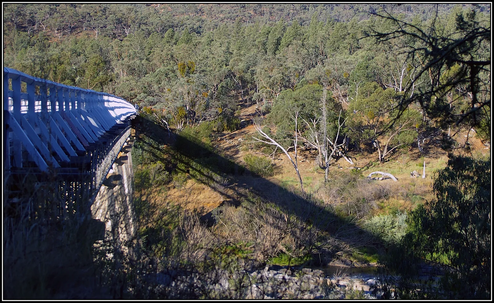

This is two days out from Melbourne rather than one, and it is the part of Victoria where a satellite messenger stops being paranoia. Signal is absent for long stretches — which is also the argument for downloading your maps before you leave the highway.
Fuel decides where you sleep
Wherever you land, the binding constraint is not how far you will drive. It is where the last pump was.
Bush campgrounds cluster where there are rivers, and rivers are not where service stations are. Measured from each campsite to the nearest fuel:
| Campsite | Nearest fuel |
|---|---|
| Meyers Flat, Dargo Rd | 6.4 km (Dargo store) |
| Castleburn Creek, Dargo Rd | 9.8 km (Dargo store) |
| Beauchamp Falls, Otways | 12.5 km (Apollo Bay) |
| Long Point, Snowy River | 15.7 km |
| Moscow Villa hut, Swifts Creek | 18.1 km |
| Stevensons Falls, Otways | 20.9 km (Apollo Bay) |
| Dogs Grave, Birregun Rd | 23.8 km (Omeo) |
| Frenchman Creek, Upper Big River | 25.5 km |
Twenty-five kilometres does not sound like much until it is gravel, in the dark, in the wrong direction, on a tank you filled two hundred kilometres ago. The rule for Victoria: fill up in the last town with a pump, regardless of what the gauge says. In the High Country that means Mansfield, Eildon, Dargo, Omeo or Bright. There is nothing between them.
What you actually get at the site
Facilities are thinner than the campground count suggests. Of the 359 forest campgrounds, 188 list a toilet and 177 list a fireplace. Fewer than one in five records a fee either way, which usually means free but is not a promise. Almost none have drinking water.
The short version: assume nothing is provided, carry your own water, and treat a toilet as a bonus.
The huts, and an honest warning
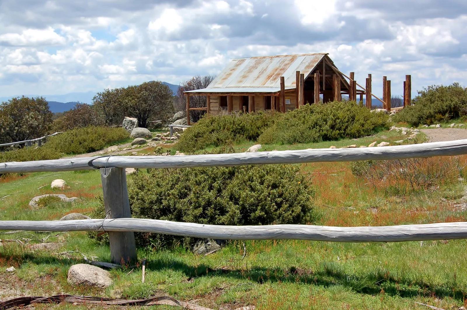
The 38 alpine huts are the most romantic entry in the dataset and the one most likely to disappoint. Craig’s Hut above Mansfield — the Man from Snowy River hut — was rebuilt in 2008. Moscow Villa near Swifts Creek dates from the 1940s, built for a fire tower lookout. Mt Terrible Hut was rebuilt in 2017.
.JPG)
But the data also carries entries reading “All huts destroyed in 2020 bushfire. No structures or facilities left at site.” The listing survives; the hut does not. Treat a hut as a bonus you might find, never as the roof you planned on, and carry the tent anyway.
Plan the night first, then the drive
The mistake on a first trip is planning the route and then looking for somewhere to sleep at 4pm. Do it the other way round: pick the night first, then build the drive to it. That is the difference between arriving with light to pitch in and crawling down gravel at dusk looking for a flat patch.
Three decisions, in this order: where you will sleep, where you will fill up before you get there, and only then which roads join them. Fuel range planning covers the middle one, and the best roads in Victoria covers the last.
That order is how Motoridez plans it. Camps, fuel and rest areas are layers on the map, routing knows whether your vehicle is happy on gravel, and a multi-day trip picks the overnight stops first and builds each day’s route between them — scenic, curvy, or as direct as you like. Download the map for the route before you go; most of these places have no signal at all.
Before you leave: the five-minute check
None of the above survives contact with a fire season, a flood or a seasonal gate. Run through this the night before, not at the trailhead.
Check closures first. Victoria has 285 road closures on the books right now, a lot of them fire-related, and they land on exactly the kind of forest track that reaches a campsite. Check VicEmergency for fire and flood, and VicTraffic for road works and closures.
Check the campsite is open. Forest campgrounds close for flood damage, hazard reduction burns and works, often at short notice. Parks Victoria and FFM Victoria publish notices per site — and if you are relying on a Parks Victoria campground inside a national park, that is also where you book. Assume a fee and a booking there; assume neither in state forest.
Check the fire restrictions. The one most people skip. During the Fire Danger Period a fireplace at a campsite is not permission to light it, and on Total Fire Ban days solid-fuel fires are banned outright. The CFA publishes district ratings daily. Carry a stove you can legally use when the fire pit is off limits.
Check the last fuel is actually open. Dargo, Omeo and Jamieson are small towns, not highway servos. Sunday-afternoon closing is a real possibility, and the next pump is an hour away.
Then download the map. Almost none of these places has signal, so the route, the campsite and the fuel stop need to be on the phone before you turn off the highway.
Take the checklist with you
We made the above into a one-page pre-trip checklist — the checks, what to carry when there is no water and no fire allowed, and the numbers worth having written down.
Open the camping checklist — print it, or save it as a PDF to your phone for when you have no signal.
Campsite data: Department of Energy, Environment and Climate Action (Victoria) and Parks Victoria, CC BY 4.0. Rest areas: Department of Infrastructure, Transport, Regional Development, Communications and the Arts, CC BY 4.0. Road surface and additional sites © OpenStreetMap contributors, ODbL.
Questions riders ask
Can you camp for free in Victoria?
Yes. Most of the 359 campgrounds run by Forest Fire Management Victoria in state forest are free and need no booking. Parks Victoria campgrounds inside national parks usually charge a fee and often require a booking. Dispersed camping is permitted in many state forests but not in national parks.
Which Victorian campsites can you reach in a normal car?
A minority of them. Of 479 state campgrounds and huts, only 47 have no unpaved road mapped within 150 metres. Buchan Caves, The Gums, Katie Peters Reserve, Livingstone Creek at Omeo and the Goulburn River sites near Seymour are among the ones a two-wheel-drive car reaches on sealed surface.
Do you need a 4WD to camp in the Victorian High Country?
For most High Country sites you need a vehicle that is happy on gravel — a 4WD, an adventure bike, or a car driven carefully in dry conditions on a well-graded road. The Dargo and Omeo roads are sealed most of the way in, which makes their campgrounds the softest introduction. Wonnangatta and the Upper Big River are not.
Do Victorian bush campsites have toilets?
About half. Of the 359 forest campgrounds in the state's own data, 188 record a toilet and 177 record a fireplace. Assume nothing is provided unless the listing says so, and carry water — almost none of these sites have drinking water.
Where can I camp on a weekend trip from Melbourne?
The Upper Big River camps past Eildon are the closest genuine bush camping to the city, roughly three hours out via the Black Spur and Eildon, on gravel. The Otways behind the Great Ocean Road are a similar distance and have more facilities. Both work as a single overnight.
Free, no subscription
Plan the curvy bits. Record the ride.
Watch your
map fill in.
Motoridez is free on iOS and Android — curvy routing, turn-by-turn voice navigation, ride recording and your ridden-roads map, with nothing behind a paywall.


Not in Australia yet
Bring Motoridez to your roads
We've launched in Australia first. The more riders register from your region, the sooner we get there — so put your name down, then send it to your ride group to move your region up the queue.
You're on the list ✓
Nice — you're in the queue
Every rider you bring moves your region up the list. Share it with your mates and your ride groups.