
Brisbane to Cairns by Motorcycle: 5, 7, 10 or 14 Days
Brisbane to Cairns by motorcycle in 5, 7, 10 or 14 days: the stops, the day-by-day legs, and the months when wet season and cyclones close the road.
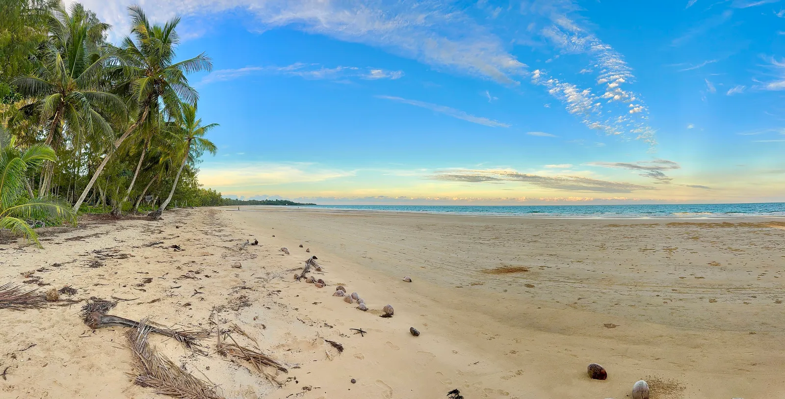
You leave Brisbane in the cool of the morning and arrive in a different climate. Around 1,700 km later the air is thick and the road ahead is wet in a way it never was at home.
That is the Brisbane to Cairns road trip by motorcycle, and the surprise is in the road itself. The Bruce Highway, the route that does the job, is sealed from end to end, and also, in Wikipedia’s words, prone to frequent flooding. One stretch south of Proserpine, the Goorganga Plains, can be closed for days. So the first question in any Brisbane to Cairns itinerary is not where to stop. It is when to go.
The short answer: ride it in seven days, in the dry season, and keep one day spare. The rest of this post is the reasoning, with the legs laid out day by day.
How many days do you need for Brisbane to Cairns?
Seven. The Bruce Highway runs 1,679 km from Bald Hills, 21 km north of the Brisbane CBD, to Cairns. Planning sites quote about 19 hours of driving without stops, which on a motorcycle is a number to respect rather than aim at. Fatigue builds faster on a bike, and the heat makes it worse.
Seven days gives you six riding days between 140 and 390 km, one buffer day and room to stop at the places worth stopping.
The five day version. Possible, with four riding days and a spare. Brisbane to Rockhampton (about 630 km) is the long one, then Mackay, Townsville and Cairns. You will see the highway and little else.
The ten and fourteen day versions. This is where the trip stops being a transit. Add a night on the Sunshine Coast, a night at Hervey Bay, a day at Airlie or the Whitsundays, a rest day in Townsville, and a loop up onto the Atherton Tablelands. For fourteen days you can take the coast slowly and ride the hinterland roads at each end, which is what the Queensland roads guide is for.
Distances below are measured from Brisbane along the Bruce Highway, using the figures listed on Wikipedia. Riding times assume an average near 90 km/h with stops excluded.
- Day 1Brisbane to Hervey Bay286 km
- Day 2Hervey Bay to Rockhampton340 km
- Day 3Rockhampton to Mackay335 km
- Day 4Mackay to Townsville390 km
- Day 5Townsville to Mission Beach235 km
- Day 6Mission Beach to Cairns140 km
Day 1: Brisbane to Hervey Bay (about 286 km)
Hervey Bay is about 286 km north of Brisbane, roughly three and a half hours by road. It is the right first night: close enough that a late departure does not matter, far enough that Brisbane is behind you.
The stop worth making is the whales. Humpbacks migrate along this coast between April and October, and Hervey Bay became the world’s first Whale Heritage Site in October 2019. Outside those months the town is still a calm, north-facing bay and the ferry point for K’gari.
Fuel, food and a bed are all in town. If you start late, plan to arrive with daylight left.
Day 2: Hervey Bay to Rockhampton (about 340 km)
Rockhampton sits just north of the Tropic of Capricorn, and a monument marking the latitude has been moved into town so visitors can stand on it.
This is where the climate starts to change. Rockhampton’s average annual rain is about 795 mm, and summer thunderstorms are common there. In winter the nights are cool and the days are dry, which is why July is the sweet spot for the middle of the trip.
Overnight in Rockhampton. It calls itself the Beef Capital of Australia, which tells you what to expect for dinner.
Day 3: Rockhampton to Mackay (about 335 km)
A long, steady day. Mackay is roughly 963 km from Brisbane, and from here north the country sits inside the zone where cyclones are most likely: the Queensland Government names communities within 50 km of the coast from Bundaberg to Thursday Island.
Fuel in Rockhampton before you leave, and again before the long stretches. The fuel range planning guide suggests stops every 150 to 180 km as a safe default for a group, and the same sensible spacing applies here, with one extra check: confirm that the town you are counting on is open when you arrive.
Overnight in Mackay.
Day 4: Mackay to Townsville (about 390 km)
The big day of the middle. South of Proserpine the Goorganga Plains section is flood-prone and, per Wikipedia, can be closed for days, with funding announced in January 2025 for works between Mackay and Bowen. That does not mean it will be closed when you ride it. It means this is the leg where you check the live road status before you leave the motel.
Townsville is about 1,350 km from Brisbane. The stop that earns its place is Castle Hill, a granite monolith 286 m high in the middle of the city, with views over Cleveland Bay. Magnetic Island sits about 8 km offshore and most of it is national park.
Townsville averages about 120 clear days a year and its wet season runs roughly November to April.
Day 5: Townsville to Mission Beach (about 235 km)
A shorter day, deliberately. This is the wettest stretch of the coast in the wet months, so a short day leaves room to wait out a downpour.
Mission Beach is the stop for the southern cassowary, the area’s best-known wildlife. Cassowaries cross roads in this district, and the town holds a Cassowary Festival each September, so ride the town streets slowly. In February 2011, the eyewall of Severe Tropical Cyclone Yasi crossed the coast near here with estimated gusts of up to 310 km/h, a reminder of what this coast is built to survive.
Day 6: Mission Beach to Cairns (about 140 km)
An easy morning. Cairns is about 1,695 km from Brisbane, and has a wet season from November to May and a drier season from June to October, with just under 2,000 mm of rain a year. The Captain Cook Highway starts at Aeroglen and runs about 76 km north-west to Mossman, which makes a good out-and-back if the weather holds.
Day 7: a spare day
Use it for rain, for the reef, for whatever the road threw at you. A buffer day is the cheapest piece of wet-season insurance there is.
When is the best time of year to ride Brisbane to Cairns?
Climate numbers below are from Open-Meteo historical weather data (ERA5 reanalysis), 2015 to 2024 averages. “Wet days” is the share of days with at least 1 mm of rain. Daily high and low are in °C.
| J | F | M | A | M | J | J | A | S | O | N | D | |
|---|---|---|---|---|---|---|---|---|---|---|---|---|
| Best months | Best months | |||||||||||
| Wet season | Wet season | |||||||||||
| Brisbane | 29°52% | 29°45% | 28°51% | 26°28% | 23°23% | 21°21% | 21°18% | 23°17% | 25°22% | 26°34% | 28°36% | 29°39% |
| Toowoomba | 28°43% | 28°39% | 26°41% | 23°20% | 20°17% | 17°14% | 17°15% | 19°13% | 22°17% | 25°37% | 27°32% | 28°37% |
| Cairns | 30°76% | 31°69% | 30°65% | 28°52% | 26°37% | 25°32% | 24°25% | 25°23% | 27°28% | 29°28% | 30°40% | 30°54% |
- under 10°
- 10 to 15°
- 15 to 20°
- 20 to 25°
- 25 to 30°
- 30° and over
See the figures as a table
| Month | Brisbane high / low, wet days | Toowoomba high / low, wet days | Cairns high / low, wet days |
|---|---|---|---|
| Jan | 29 / 21, 52% | 28 / 18, 43% | 30 / 24, 76% |
| Feb | 29 / 21, 45% | 28 / 18, 39% | 31 / 25, 69% |
| Mar | 28 / 20, 51% | 26 / 17, 41% | 30 / 24, 65% |
| Apr | 26 / 16, 28% | 23 / 13, 20% | 28 / 23, 52% |
| May | 23 / 14, 23% | 20 / 10, 17% | 26 / 21, 37% |
| Jun | 21 / 11, 21% | 17 / 8, 14% | 25 / 19, 32% |
| Jul | 21 / 10, 18% | 17 / 7, 15% | 24 / 18, 25% |
| Aug | 23 / 11, 17% | 19 / 8, 13% | 25 / 18, 23% |
| Sep | 25 / 13, 22% | 22 / 10, 17% | 27 / 20, 28% |
| Oct | 26 / 16, 34% | 25 / 13, 37% | 29 / 21, 28% |
| Nov | 28 / 18, 36% | 27 / 15, 32% | 30 / 23, 40% |
| Dec | 29 / 20, 39% | 28 / 17, 37% | 30 / 24, 54% |
Best: June to September. Cairns has rain on only 23 to 32 per cent of days and daily highs of 24 to 27°C. Brisbane sits between 21 and 25, which is comfortable in a jacket. Wikipedia’s Climate of Queensland page describes the north’s dry season as mostly clear skies and milder conditions.
Good shoulders: May and October. Cairns is still drier than it will be, and Brisbane has not yet swung into storm weather.
Worst: January to March. Cairns has rain on 65 to 76 per cent of days, daily highs near 30°C and overnight lows of 24. The wet season in the far north typically runs October to April, and the Queensland Government’s cyclone season runs 1 November to 30 April. Cyclone Jasper in December 2023 delivered up to 2,252 mm at one gauge near the Daintree River, and the Captain Cook Highway between Cairns and Port Douglas was closed after the storm passed. In the south-east, the Bureau of Meteorology’s long-range outlook has described October to April as the peak season for severe thunderstorms and flooding, and University of Queensland research found storms commonly arise around Boonah and Beaudesert and the Esk area.
The southern end rides well in the cooler months, and so do the ranges: Toowoomba runs about 4°C cooler than Brisbane in July, with a 7°C average low. Pack a layer.
The tropical north is a dry-season trip. Do not plan a fixed itinerary for it between January and March.
What changes in the heat?
A lot, and the Queensland Government says so plainly: drink plenty of water, wear the right clothes, take frequent breaks and avoid riding in the hottest part of the day. It also notes that heat leaves riders weak and tired, and dehydration impairs clear thinking and reactions.
In practice that means:
- Start early. Be on the road at first light and finish before the heat peaks.
- Carry water. Drink before you feel thirsty, and top up at every fuel stop.
- Ventilated gear. For most riders, the right clothes in Cairns in February means a mesh jacket with a proper armour layer.
- Fuel stops are rest stops. Treat them as your scheduled break.
Smoke and cane. Cane fires happen in the Burdekin, which one regional tourism listing says sees burning between June and December. Most Queensland cane is now harvested unburnt, and burning is timed for low wind, but plan for the odd smoky morning in the dry season and ask a local fire service about notifications.
Rivers and floodways. Do not ride into water of unknown depth. Check QLDTraffic, the Queensland road authority’s live traffic site, the morning you ride and again at lunch. This post cannot tell you what the road is doing today.
Where to stop for the night
Towns, not businesses: Hervey Bay, Rockhampton, Mackay, Townsville, Mission Beach and Cairns, in that order. For ten or fourteen days, add the Sunshine Coast and Airlie Beach or Proserpine.
Book the first and last nights, and leave the middle open. In the wet season, hold a changeable booking for any town between Mackay and Cairns.
Only want a Brisbane day or weekend loop in summer heat?
Skip the coast. The ranges around Brisbane are a half-day loop, and the guide to roads near Brisbane covers Mount Glorious, Mount Mee and the Brisbane Valley, while the Gold Coast hinterland and Sunshine Coast hinterland guides cover the rest. In summer, leave at dawn, be home or in the shade by early afternoon, and use the upland towns as your cool break.
Plan it in MotoRidez
MotoRidez plans curvy routes, so you can ride the hinterland roads at each end instead of the highway alone. It gives turn-by-turn voice navigation, lets you download offline maps for the corridor you will ride, records the ride and keeps a map of every road you have ridden. It is free, with no subscription, on iPhone and Android.
Questions riders ask
How many days do you need for a Brisbane to Cairns road trip?
Seven days is a good motorcycle version: roughly 1,700 km with a day of slack for weather. Five days works if you accept 350 to 630 km days on the highway. Ten to fourteen days lets you add the Sunshine Coast, Hervey Bay, the Whitsundays and the Atherton Tablelands without hurrying.
How far is Brisbane to Cairns?
About 1,680 km on the Bruce Highway, which Wikipedia lists at 1,679 km from Bald Hills in Brisbane to Cairns. Trip planners put the drive at around 19 hours without stops. Detours to K'gari or the Whitsundays push the total towards 1,800 km.
What is the best time of year for a Brisbane to Cairns road trip?
Mid-year, roughly June to September. Cairns has its lowest share of wet days then, and Brisbane's daily highs sit between 21 and 25°C. May and October are good shoulder months.
Is the Bruce Highway closed in the wet season?
It can be. The highway is prone to frequent flooding, and the Goorganga Plains south of Proserpine can be closed for days. Check the QLDTraffic site and the Queensland road authority before each day's ride, and keep a spare day in the plan.
Is it safe to ride to Cairns during cyclone season?
Cyclone season officially runs 1 November to 30 April, and the Queensland Government names communities within 50 km of the coast from Bundaberg to Thursday Island as most susceptible. Most of the Brisbane to Cairns road sits inside that zone. Riding it in those months means flexible bookings and no fixed deadline.
What are the best stops between Brisbane and Cairns?
Hervey Bay for humpback whales between April and October, Rockhampton on the Tropic of Capricorn, Mackay, Townsville with Magnetic Island eight kilometres offshore, and Mission Beach for cassowaries. Each one falls about a day's ride from the last.
How hot does it get riding in Queensland?
Brisbane's average daily high is 29°C from December to February and Cairns reaches 30 to 31, with high humidity. The Queensland Government advises riders to drink plenty of water, wear the right clothes, take frequent breaks and avoid the hottest part of the day.
Free, no subscription
Plan the curvy bits. Record the ride.
Watch your
map fill in.
Curvy routing, turn-by-turn voice navigation, ride recording and your ridden-roads map, with nothing behind a paywall.



Join the waitlist
Bring MotoRidez to your roads
The more riders register from your region, the sooner we get there. Put your name down, then send it to your ride group to move your region up the queue.
You're on the list ✓
Nice — you're in the queue
Every rider you bring moves your region up the list. Share it with your mates and your ride groups.