Trail Ridge Road
- Highest
- 3,043 m
- Lowest
- 2,358 m
- Climb
- 33 m
- Descent
- 717 m
- Start to end
- 3,043 → 2,358 m
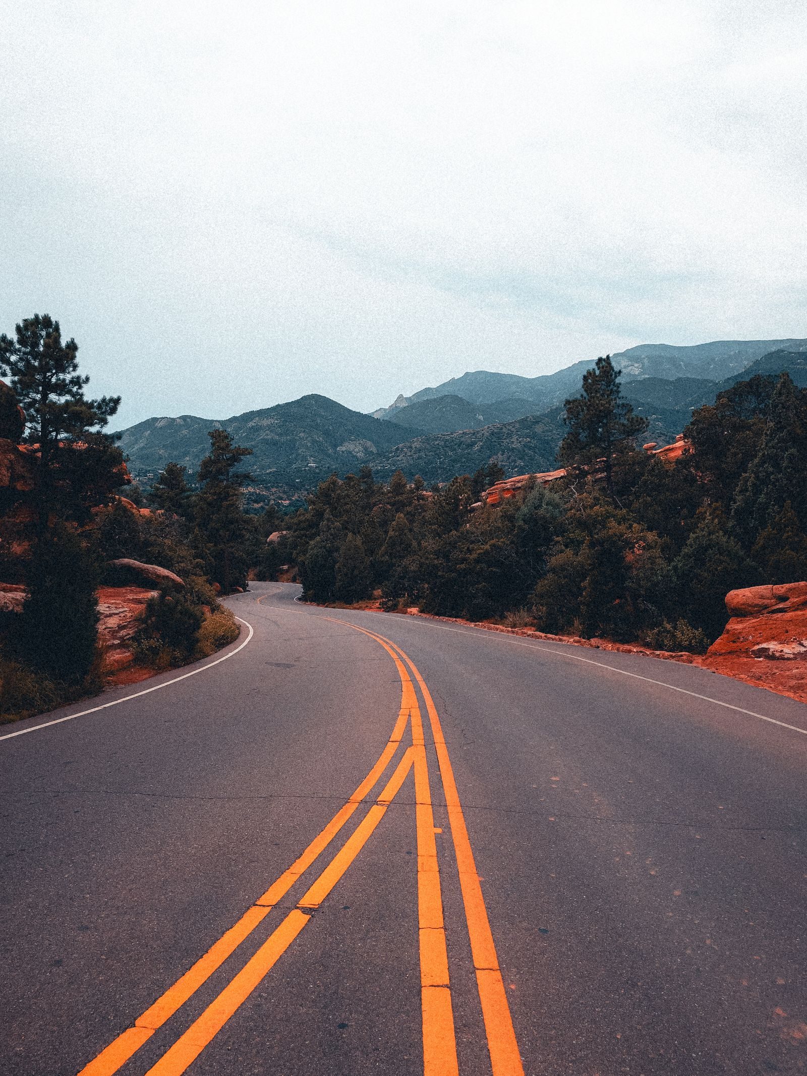
The twistiest stretch of the high road through Rocky Mountain National Park from Estes Park to Grand Lake, crossing the Continental Divide above the tree line.
The National Park Service calls it the highest continuous paved road in the United States, and it feels like it: long climbs, wide curves and a stretch above the tree line with the whole range around you.
It is seasonal, usually open from late spring to mid-autumn and closed by snow the rest of the year. Check the park for the current status and for any timed-entry rules.
Weather turns fast at altitude, with cold and storms possible in any month, so carry layers.
More on this road: The best motorcycle roads in Colorado
Photos are contributed by riders and reviewed before they appear here. Conditions change — check before you go. Map data © OpenStreetMap contributors.