The Needles Highway
- Highest
- 1,694 m
- Lowest
- 1,410 m
- Climb
- 173 m
- Descent
- 327 m
- Start to end
- 1,567 → 1,411 m
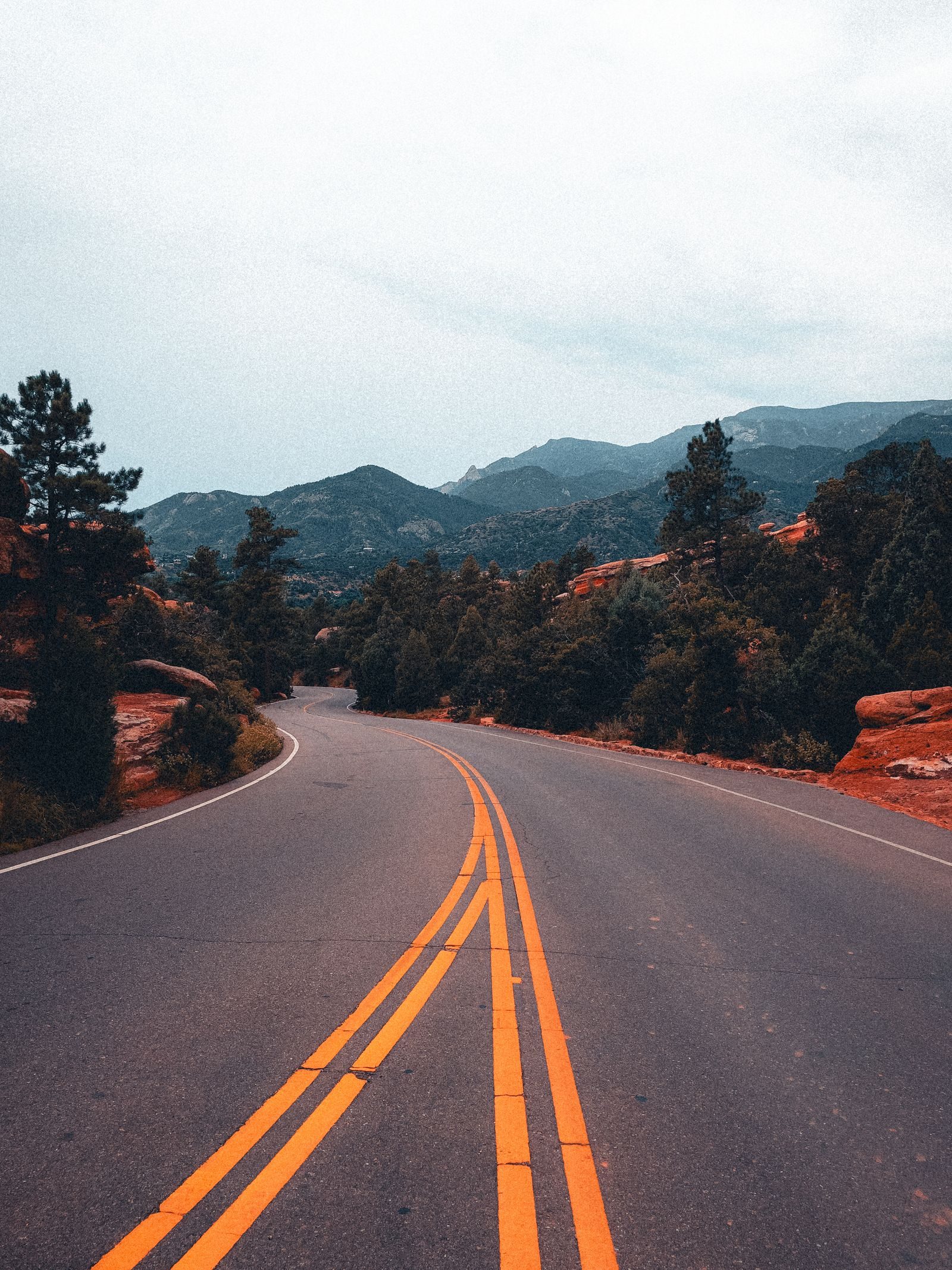
The twistiest stretch of South Dakota 87 through Custer State Park: a slow, narrow road of tight corners, granite spires and tunnels cut through the rock.
More a sightseeing road than a quick one: tight switchbacks, spires of granite and tunnels cut just wide enough to pass through.
The tunnels are narrow, so check the posted width and height limits for wide loads and large vehicles. Slow down and let oncoming traffic through.
It is a Custer State Park road, so a park entrance fee applies, and the road closes in winter.
More on this road: The best motorcycle roads in South Dakota
Photos are contributed by riders and reviewed before they appear here. Conditions change — check before you go. Map data © OpenStreetMap contributors.