Queen Charlotte Drive
- Highest
- 156 m
- Lowest
- 7 m
- Climb
- 358 m
- Descent
- 362 m
- Start to end
- 20 → 18 m
- Steepest
- 13.4%
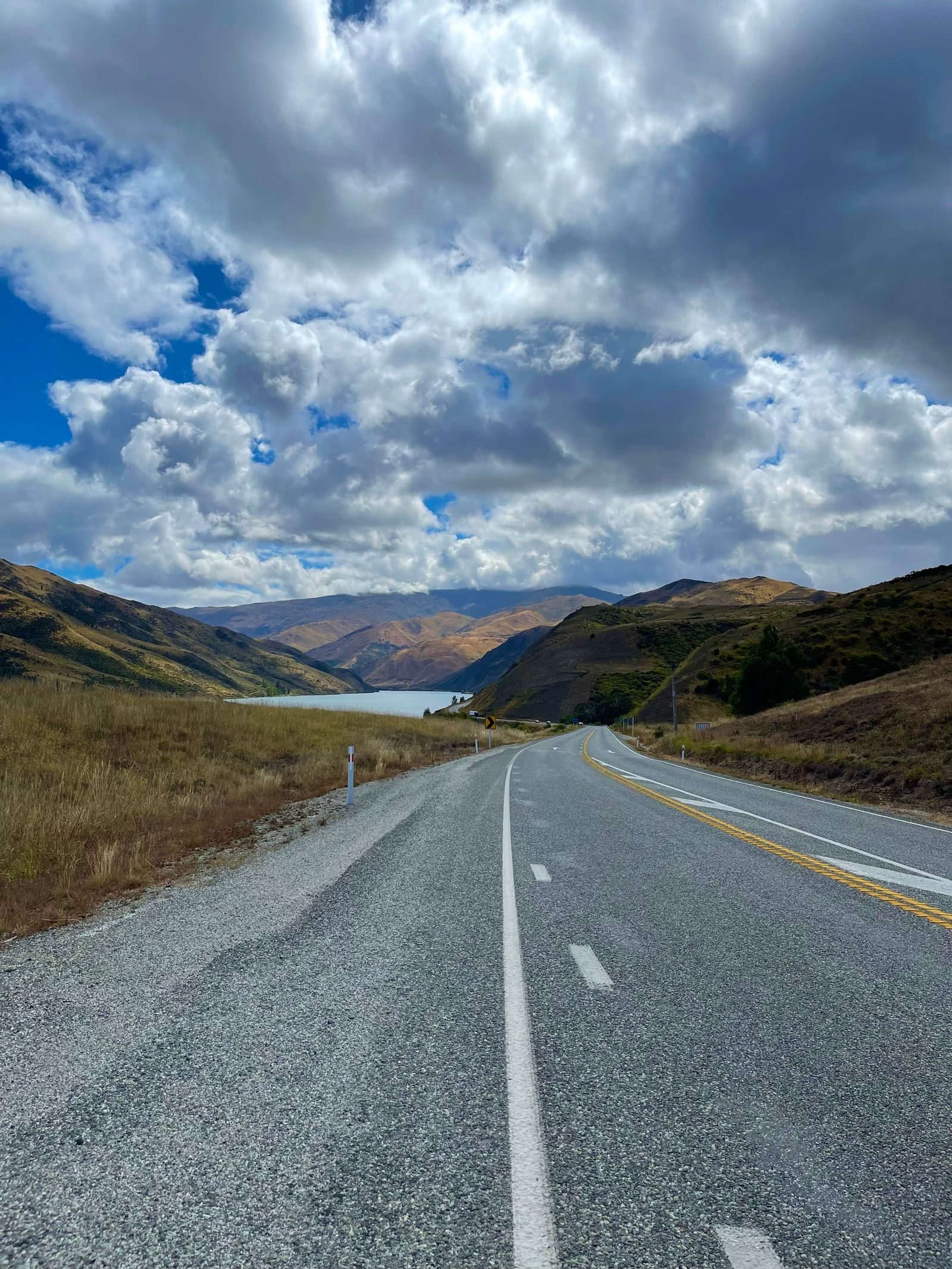
The twistiest stretch of Queen Charlotte Drive through the Marlborough Sounds between Picton and Havelock, narrow and bendy with a bay alongside almost all the way.
This is bends for their own sake: tight, narrow and following the shoreline of the Sounds, with water appearing and disappearing through the trees.
It is slow-going, and the road is narrow enough that you should expect to meet vehicles coming the other way on the bends.
There are few places to stop and few services, so plan fuel and food in Picton or Havelock.
Ferries on the way
- Wellington - Picton (Interislander) — Picton Interislander terminal - Aratere to interislander · Paid crossing
- Wellington - Picton (Bluebridge) — Wellington Harbour Ferry to Picton Interislander terminal - Aratere
- Wellington - Picton (Interislander) — Picton Interislander terminal - Aratere to interislander · Paid crossing
- Wellington - Picton (Bluebridge) — Wellington Harbour Ferry to Picton Interislander terminal - Aratere
More on this road: The best motorcycle roads in New Zealand's South Island
Rides that use it
Photos are contributed by riders and reviewed before they appear here. Conditions change — check before you go. Map data © OpenStreetMap contributors.