The Pacific Rim Highway
- Highest
- 23 m
- Lowest
- 1 m
- Climb
- 17 m
- Descent
- 10 m
- Start to end
- 11 → 16 m
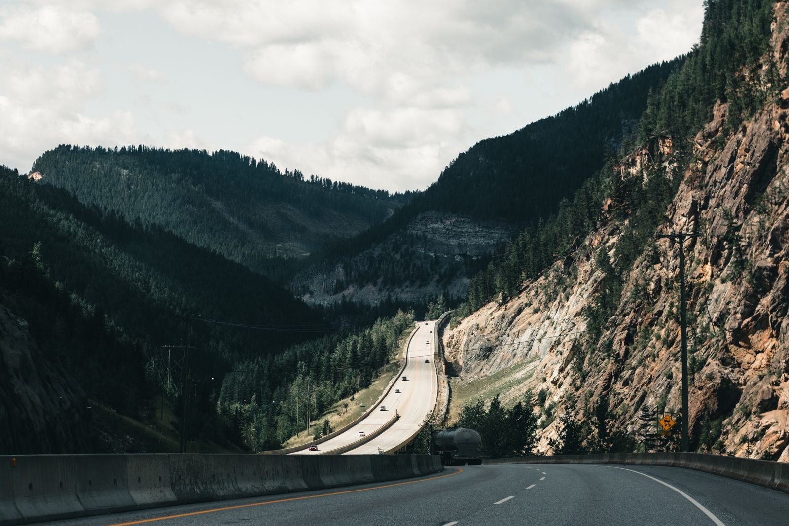
The twistiest stretch of Highway 4 across Vancouver Island, between Port Alberni and the west coast, through old-growth forest and a long run of bends.
The road leaves Port Alberni and climbs through forest before dropping to the coast, with the corners getting tighter toward the end. It is slow-going on a busy day.
Roadside parking at the old-growth groves is used by people on foot, so watch for pedestrians around the stops.
The west coast gets heavy rain and fog, and in winter storms can close or slow the road. Allow more time than the distance suggests.
More on this road: The best motorcycle roads in British Columbia
Photos are contributed by riders and reviewed before they appear here. Conditions change — check before you go. Map data © OpenStreetMap contributors.