Mulholland Highway
- Highest
- 317 m
- Lowest
- 169 m
- Climb
- 197 m
- Descent
- 257 m
- Start to end
- 278 → 218 m
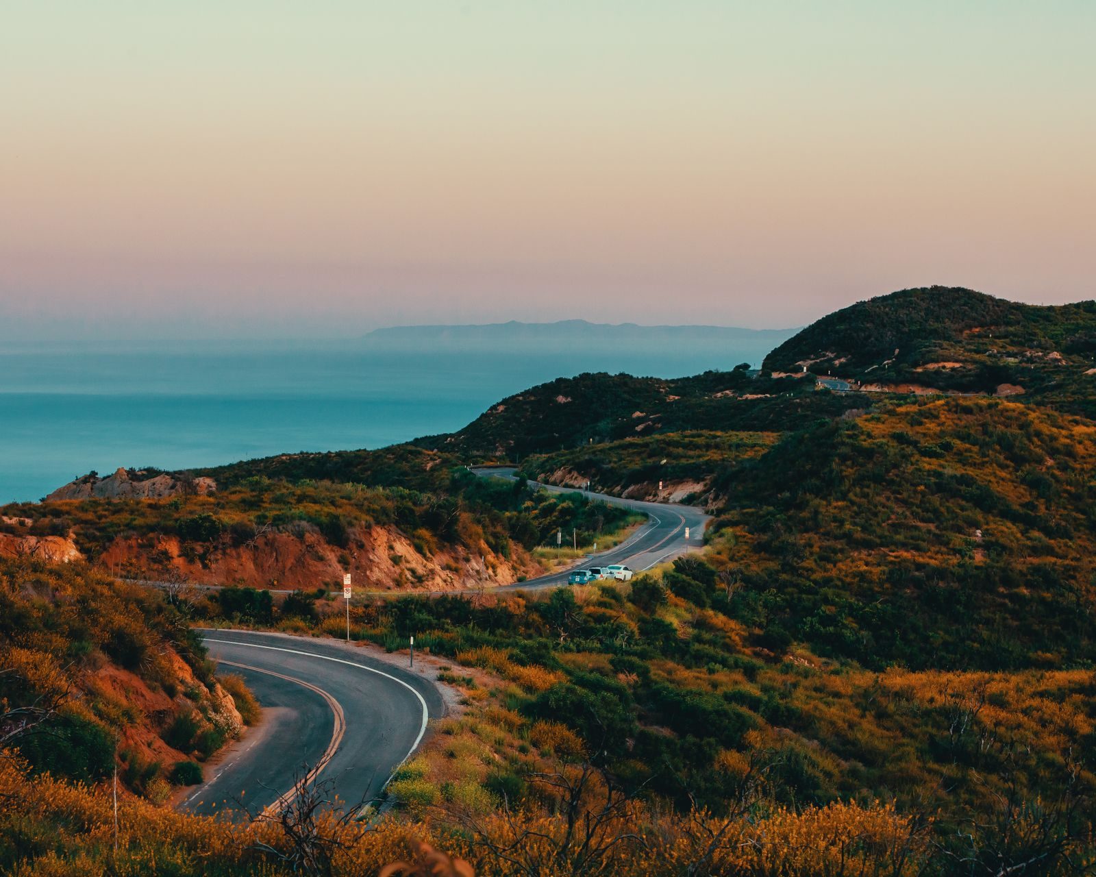
The twistiest stretch of the winding road through the Santa Monica Mountains from Calabasas toward the coast, a long-standing favourite for riders around Los Angeles.
Tight, technical and busy at weekends. It twists through the hills with short straights and constant corners, and it is a well-known gathering route for riders.
The road is watched by police and shared with cyclists and cars, and the surface can be patchy. Ride it as a technical road rather than flat out.
Check conditions after rain and fire season, when closures and debris are possible.
More on this road: The best motorcycle roads in California
Rides that use it
Photos are contributed by riders and reviewed before they appear here. Conditions change — check before you go. Map data © OpenStreetMap contributors.