The Mount Baker Highway
- Highest
- 612 m
- Lowest
- 326 m
- Climb
- 85 m
- Descent
- 360 m
- Start to end
- 604 → 326 m
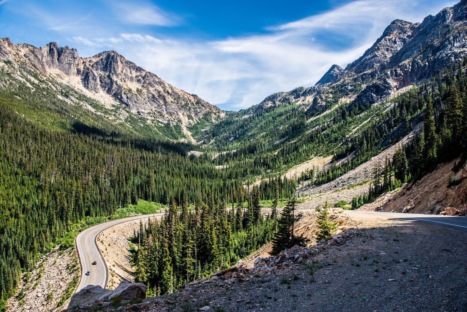
The twistiest stretch of Washington 542 climbing from the Nooksack valley toward the foot of Mount Baker, with the mountain ahead of you for the last stretch.
A winding mountain road that climbs from forest valley to alpine terrain, with the mountain growing ahead as you gain height.
The upper section closes for snow and avalanche work in winter and reopens in summer, so check the Washington road report for the current status.
Traffic is lighter than on the better-known passes, and there is little fuel past the last town.
More on this road: The best motorcycle roads in Washington
Photos are contributed by riders and reviewed before they appear here. Conditions change — check before you go. Map data © OpenStreetMap contributors.