The Mohawk Trail
- Highest
- 665 m
- Lowest
- 157 m
- Climb
- 542 m
- Descent
- 95 m
- Start to end
- 159 → 605 m
The twistiest stretch of Massachusetts 2 across the Berkshires from North Adams toward Greenfield, climbing the hairpin out of North Adams and running down the Deerfield valley.
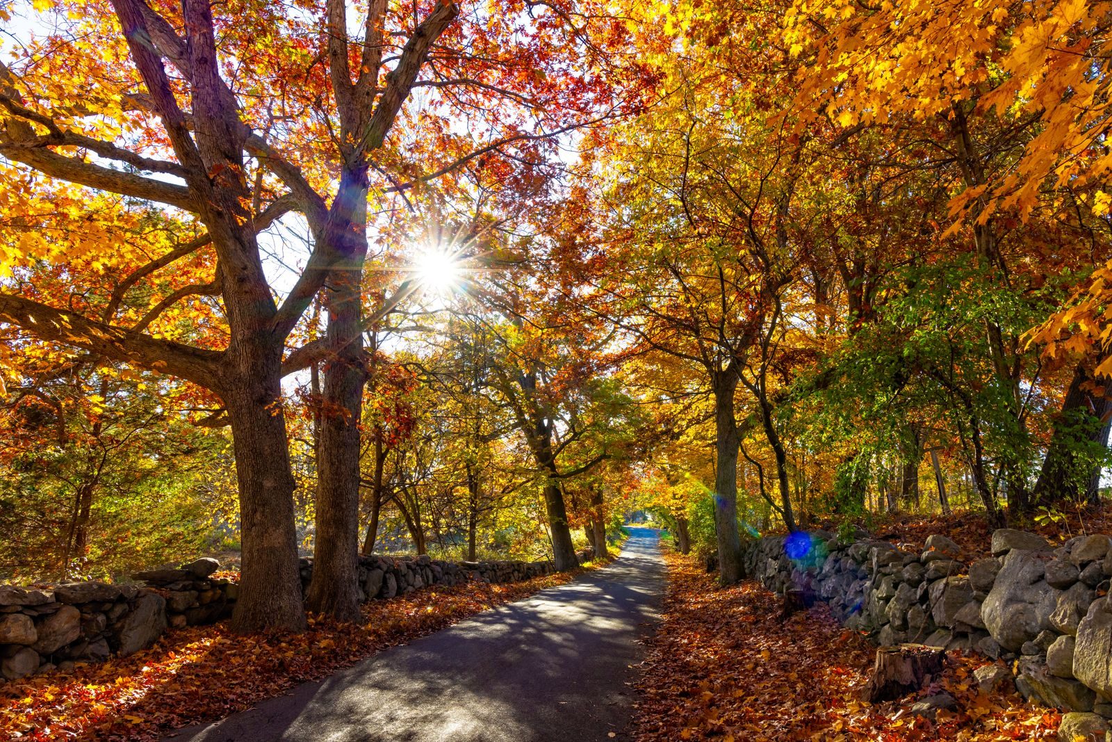
A historic road across the Berkshires with a hairpin turn above North Adams, followed by long valley runs with river views.
It is a main route with trucks and tourist traffic, particularly in autumn, so plan your overtaking and enjoy the corners where the road is clear.
There are towns and fuel along it, so you are never far from either.
More on this road: The best motorcycle roads in Massachusetts
Photos are contributed by riders and reviewed before they appear here. Conditions change — check before you go. Map data © OpenStreetMap contributors.