Kananaskis Lakes Trail
- Highest
- 1,730 m
- Lowest
- 1,622 m
- Climb
- 203 m
- Descent
- 185 m
- Start to end
- 1,699 → 1,717 m
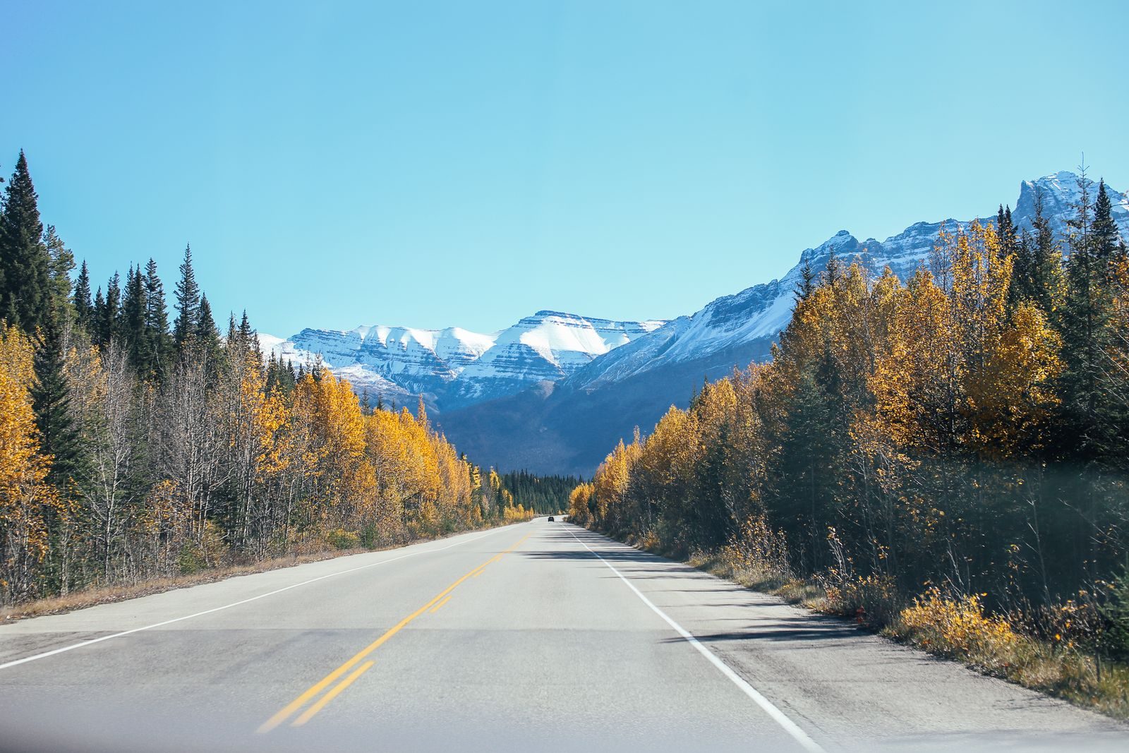
The winding road into Peter Lougheed Provincial Park to the Kananaskis Lakes, with the Rockies ahead of you for most of it.
Short, scenic and bendy, running from the highway into the valley and along the lakes. It is a road for the scenery as much as the corners.
Vehicles stopping in Kananaskis Country need a Kananaskis Conservation Pass, so check Alberta Parks before you go.
Wildlife is on and beside the road, including bears and elk, so keep your speed down around the bends.
More on this road: The best motorcycle roads in Alberta
Photos are contributed by riders and reviewed before they appear here. Conditions change — check before you go. Map data © OpenStreetMap contributors.