Iron Mountain Road
- Highest
- 1,428 m
- Lowest
- 1,163 m
- Climb
- 189 m
- Descent
- 359 m
- Start to end
- 1,404 → 1,233 m
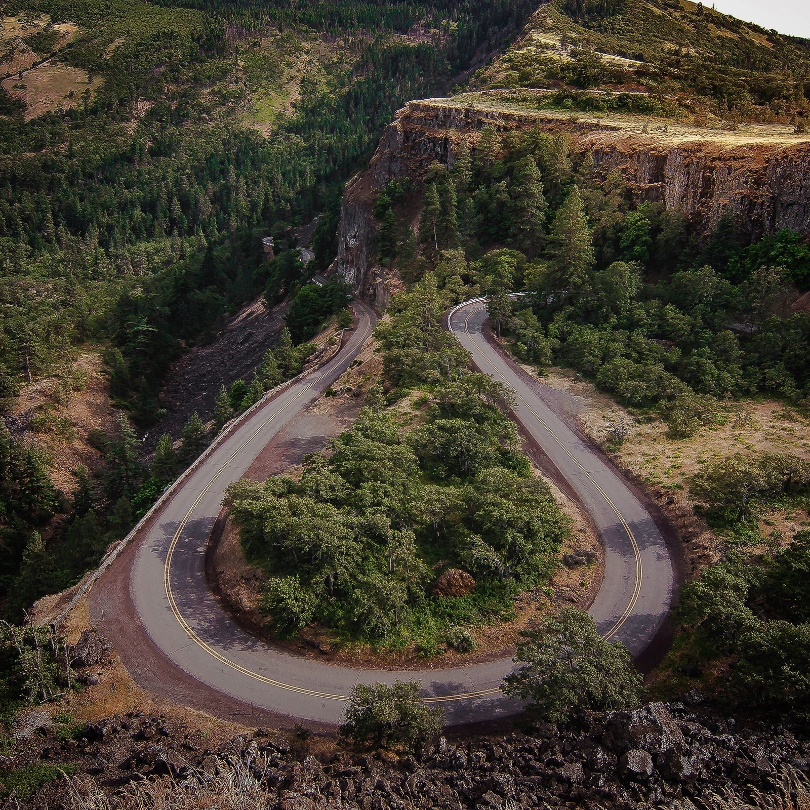
The twistiest stretch of US 16A from Keystone into Custer State Park: a slow, looping road of pigtail bridges and tunnels that frame Mount Rushmore.
Built to be driven slowly. The road loops through the Black Hills on pigtail bridges and through narrow tunnels positioned to frame Mount Rushmore as you approach.
Tunnels are tight and the speed is low, and the road is shared with tourist traffic, so patience is part of the ride.
It closes in winter, and the width and height of the tunnels are posted for larger vehicles.
More on this road: The best motorcycle roads in South Dakota
Photos are contributed by riders and reviewed before they appear here. Conditions change — check before you go. Map data © OpenStreetMap contributors.