The Cherohala Skyway
- Highest
- 1,646 m
- Lowest
- 810 m
- Climb
- 478 m
- Descent
- 1,040 m
- Start to end
- 1,372 → 811 m
- Steepest
- 10.2%
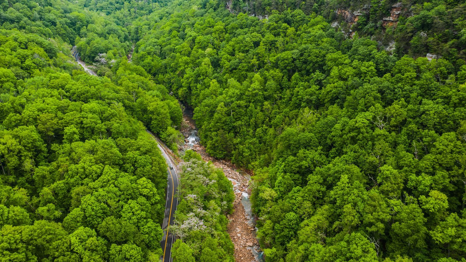
The twistiest stretch of the high mountain road between Robbinsville, North Carolina, and Tellico Plains, Tennessee, with long sweeping bends and little traffic.
A modern road with wide, flowing corners and long climbs through national forest, much quieter than the nearby Dragon.
There are no services along the skyway, so fuel up at either end before you start, and weather at the high points can be far colder and wetter than at the bottom.
It is a road that rewards a steady pace and good tyres rather than speed, and the overlooks are worth the stops.
More on this road: The best motorcycle roads in Tennessee
Photos are contributed by riders and reviewed before they appear here. Conditions change — check before you go. Map data © OpenStreetMap contributors.