The Cabot Trail
- Highest
- 55 m
- Lowest
- 1 m
- Climb
- 174 m
- Descent
- 184 m
- Start to end
- 41 → 31 m
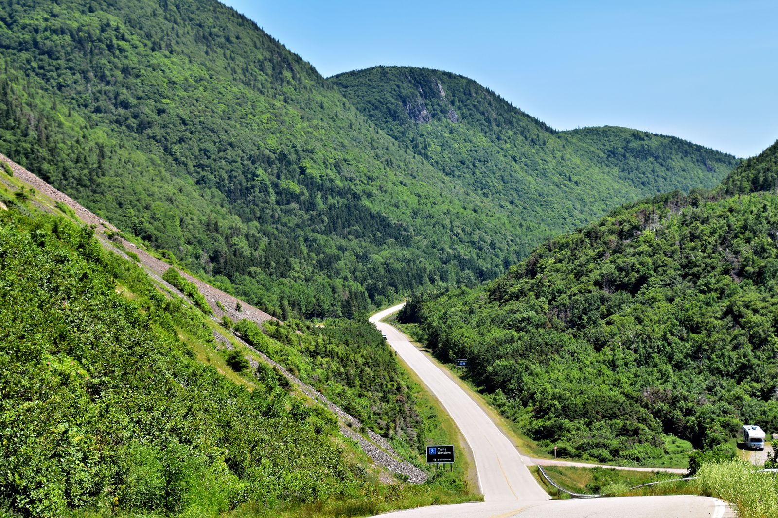
The twistiest stretch of the Cabot Trail, along the Cape Breton coast from Neils Harbour past Ingonish and over Cape Smokey toward Baddeck.
The coast road and the highland sections are different rides. Along the water it is open and flowing; through the Highlands it climbs and drops in long, steady grades with the sea in view for much of it.
The best of it runs through Cape Breton Highlands National Park, where stopping needs a Parks Canada pass. Check their current rules before you go.
Summer and autumn are busy, with caravans and tour traffic, and early October colour draws the biggest crowds. Fuel up in the towns at either end rather than counting on the road.
More on this road: The best motorcycle roads in Nova Scotia
Photos are contributed by riders and reviewed before they appear here. Conditions change — check before you go. Map data © OpenStreetMap contributors.