The Blue Ridge Parkway
- Highest
- 1,719 m
- Lowest
- 1,318 m
- Climb
- 363 m
- Descent
- 585 m
- Start to end
- 1,703 → 1,479 m
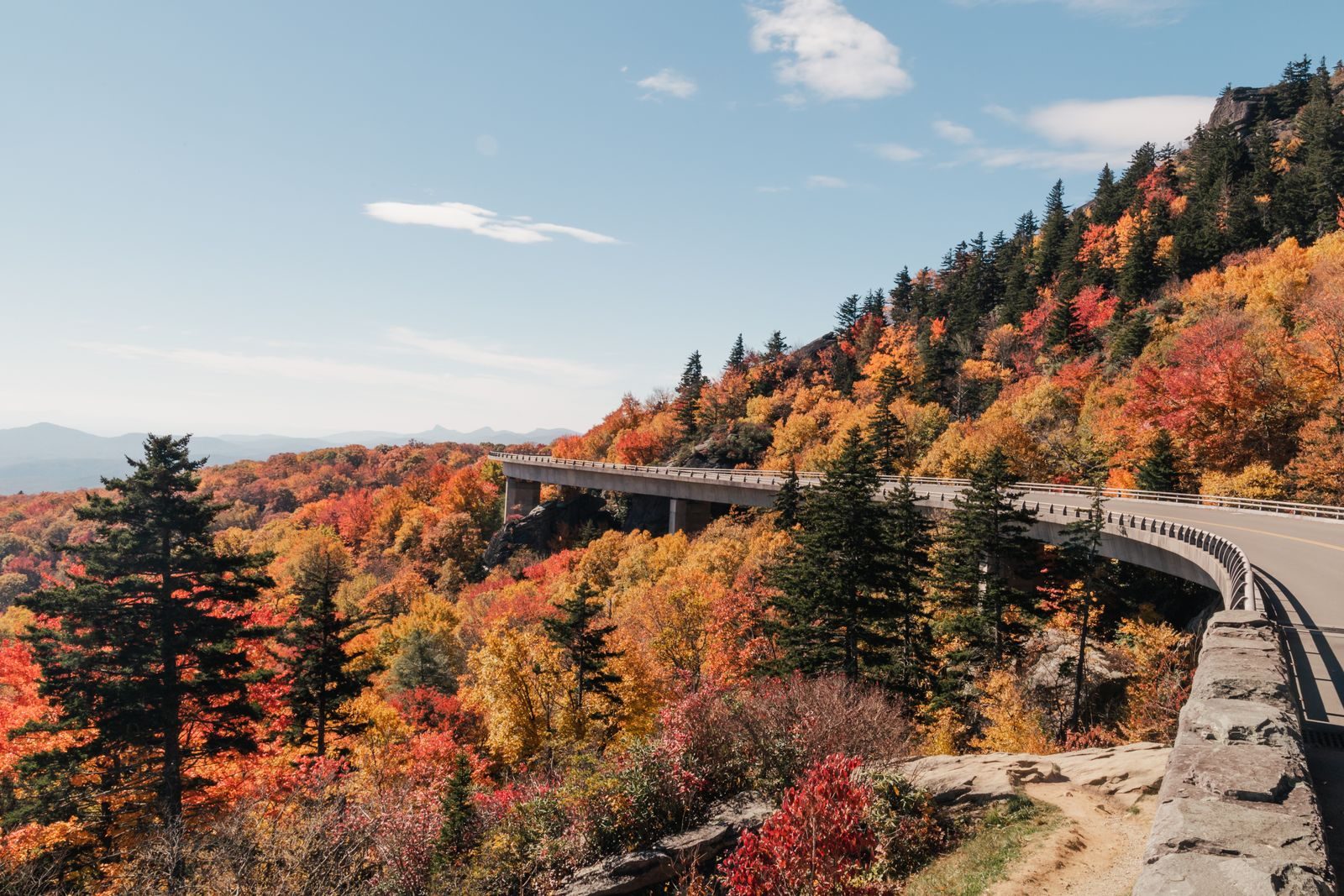
The twistiest stretch of the Blue Ridge Parkway between Asheville and Cherokee, through the southern Appalachians.
A road built for the view: gentle sweeping bends, long ridgeline sections and overlooks every few miles. It is more about pace and scenery than sharp corners.
The speed limit is low and enforced, there is no commercial traffic, and wildlife and tourists share the road. Sections have been closed for storm damage and for winter weather, so check the National Park Service before you plan a route.
Services are off the parkway, in the towns it crosses, so refuel before you join it.
More on this road: The best motorcycle roads in North Carolina
Photos are contributed by riders and reviewed before they appear here. Conditions change — check before you go. Map data © OpenStreetMap contributors.