The Beartooth Highway
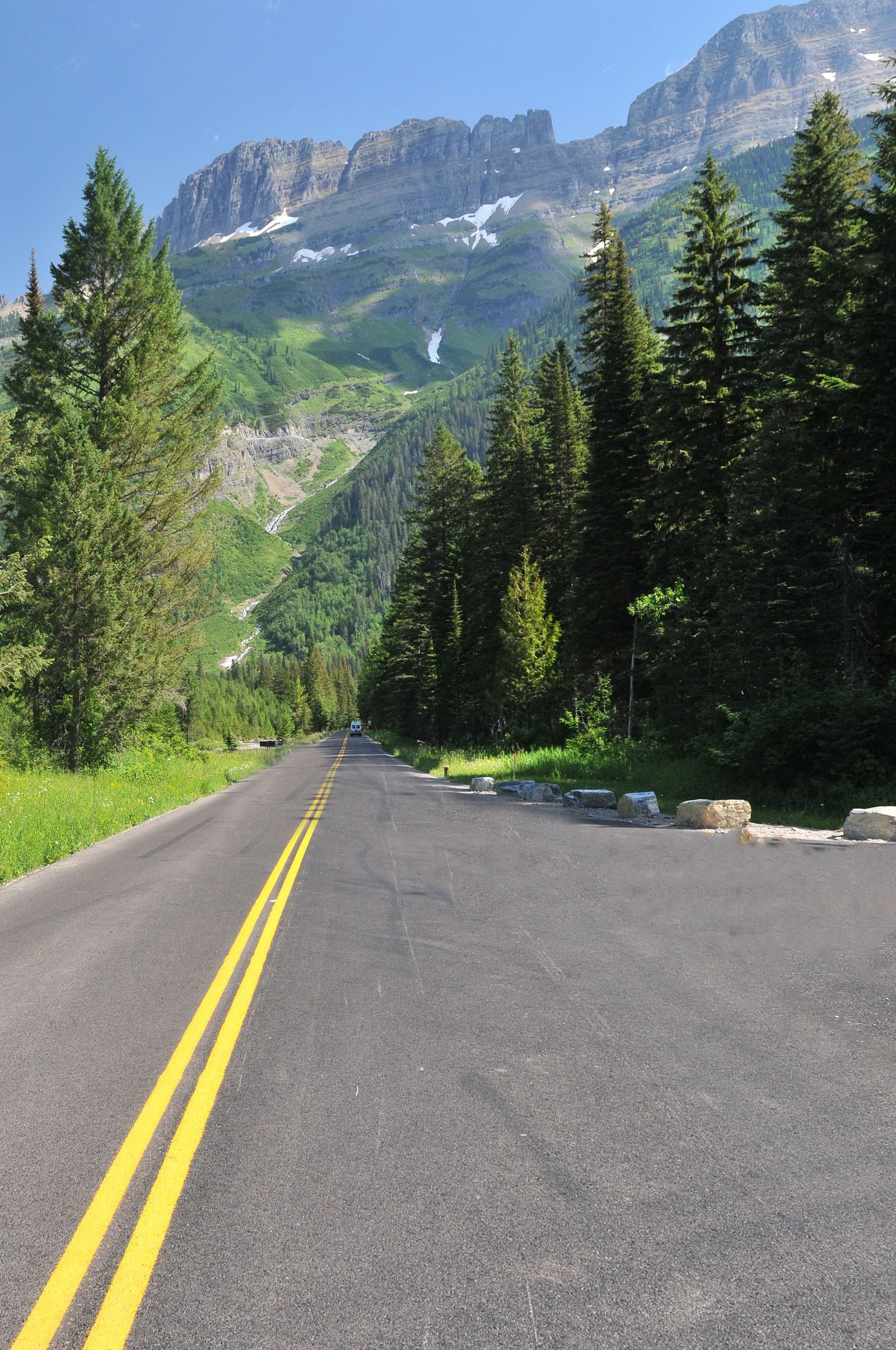
- Highest
- 2,841 m
- Lowest
- 2,090 m
- Climb
- 54 m
- Descent
- 797 m
- Start to end
- 2,837 → 2,090 m
The twistiest stretch of US 212 from Red Lodge, Montana, over the Beartooth Plateau toward Yellowstone, through switchbacks to open alpine country.
A high mountain highway with long switchbacks, wide-open views and a plateau above the tree line that feels a long way from anywhere.
It is seasonal, closing for snow in winter and opening late in spring, and it can snow at the top in any month. Check the Montana and Wyoming road reports.
Fuel up at Red Lodge or Cooke City, because there is nothing on the pass. Expect cold, wind and fast-changing weather even in summer.
More on this road: The best motorcycle roads in Montana
Photos are contributed by riders and reviewed before they appear here. Conditions change — check before you go. Map data © OpenStreetMap contributors.