Angeles Crest Highway
- Highest
- 1,576 m
- Lowest
- 1,147 m
- Climb
- 644 m
- Descent
- 225 m
- Start to end
- 1,154 → 1,576 m
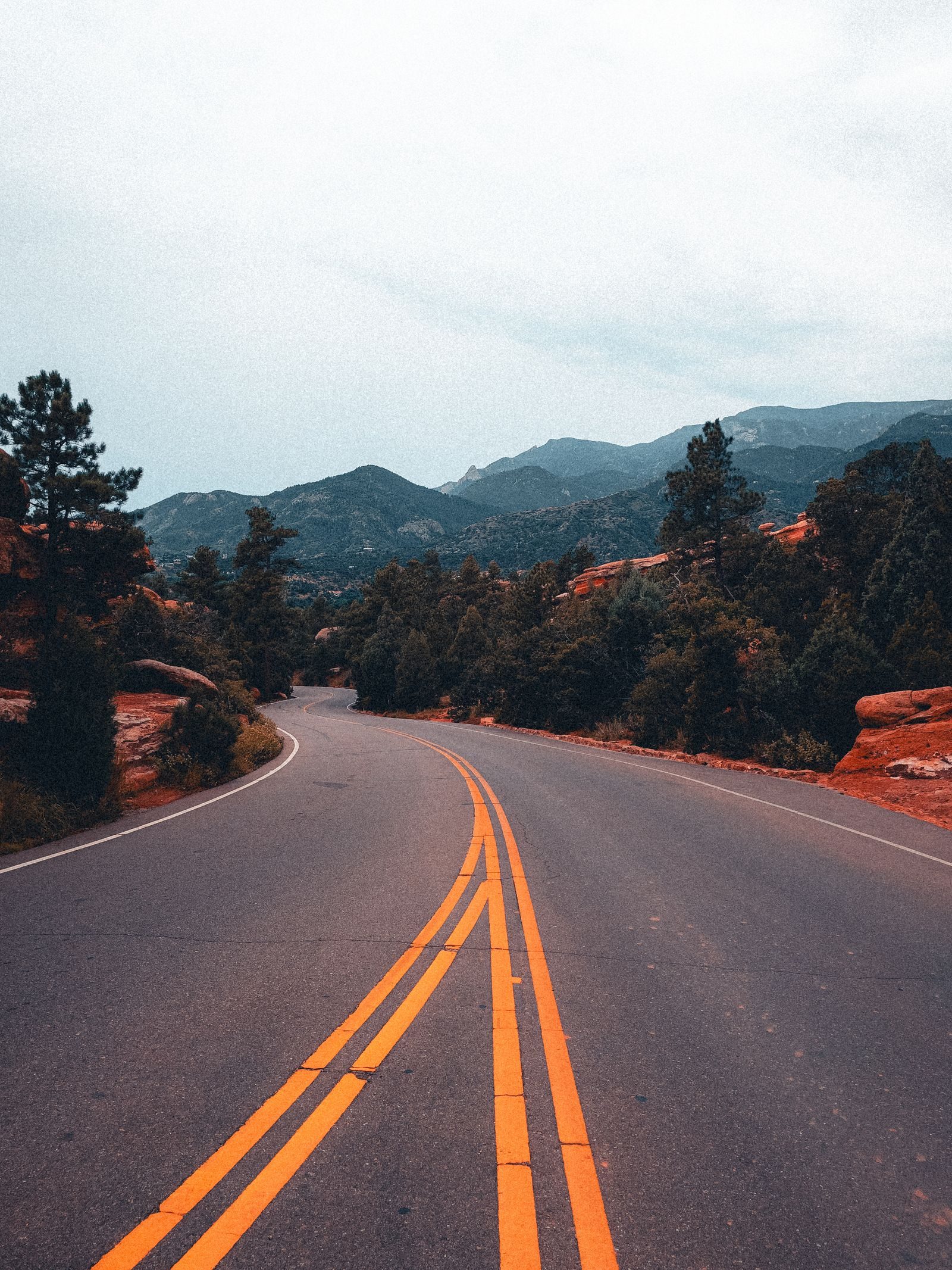
The twistiest stretch of California 2 climbing from La Cañada Flintridge through the San Gabriel Mountains toward Wrightwood, a long run of fast bends above Los Angeles.
A famous Southern California riding road: sweeping corners, big climbs and views back over the basin. It is popular with riders and cars, and weekend traffic can be heavy.
Sections are often closed for fire damage, rockfall or winter weather, so check Caltrans before you go and have a fallback route.
There is little fuel or food on the mountain, so fill up in La Cañada or Wrightwood.
More on this road: The best motorcycle roads in California
Photos are contributed by riders and reviewed before they appear here. Conditions change — check before you go. Map data © OpenStreetMap contributors.