Akamina Parkway
- Highest
- 1,686 m
- Lowest
- 1,292 m
- Climb
- 433 m
- Descent
- 55 m
- Start to end
- 1,292 → 1,674 m
- Steepest
- 11.9%
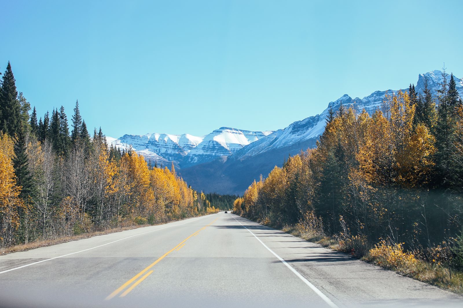
A narrow, climbing road through Waterton Lakes National Park to Cameron Lake, tight and quiet and ending at a lake under the mountains.
The parkway leaves the Waterton townsite and climbs through forest with steady bends, narrowing as it goes. It is a gentle road for the scenery rather than for pace.
Check Parks Canada for vehicle length limits and seasonal closures, and for the park pass.
It is bear country, so watch the verges and take the corners at a speed that lets you stop.
More on this road: The best motorcycle roads in Alberta
Photos are contributed by riders and reviewed before they appear here. Conditions change — check before you go. Map data © OpenStreetMap contributors.